Hey 2020, What’s Next? Perhaps An Early Season Subtropical Storm
Many people are requesting a “mulligan” for the year 2020 already. The world is gripped by a historic pandemic that has triggered Depression-era economic disparities. On top of that, murder hornets and Polar Vortex have also been in the headlines. What’s next? Meteorologists are watching an area to the east of Florida for possible development into some type of tropical (or subtropical) storm. Here’s the latest information.

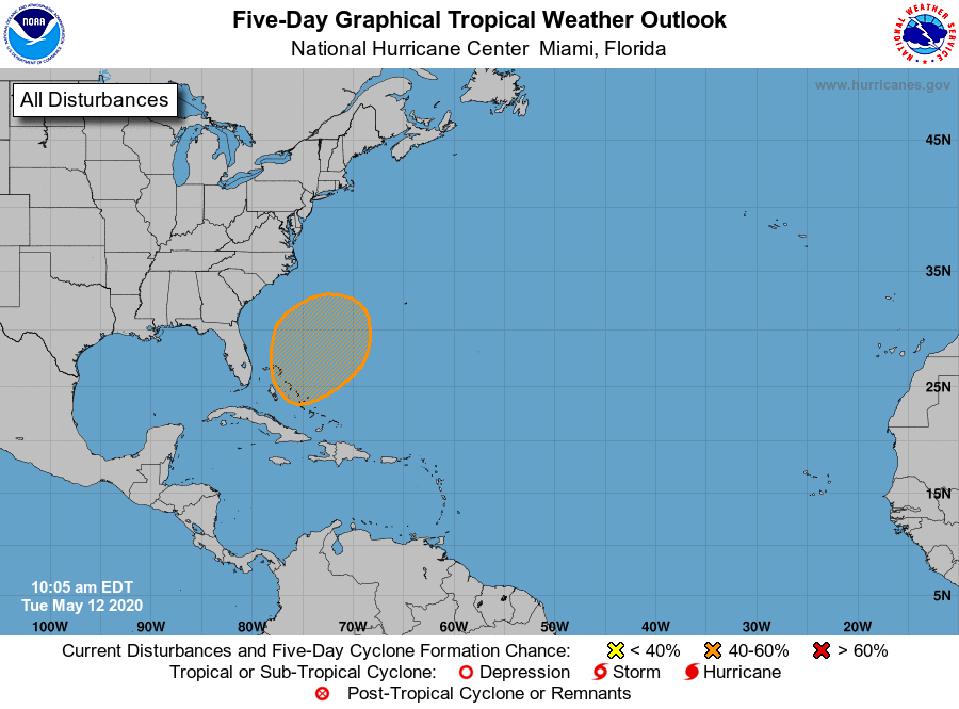
A possible subtropical system later in the week?
NOAA
On Tuesday May 12th, the National Hurricane Center, which is always my source for the best information during hurricane season, issued a Tropical Weather Outlook. The Outlook said, “For the North Atlantic…Caribbean Sea and the Gulf of Mexico: Special Tropical Weather Outlook issued to discuss the potential for subtropical development this weekend northeast of the Bahamas.” The Hurricane Center gives the storm a 50% chance of forming within 5 days. No development is expected within the next 48 hours, but we’ll be watching. Many of you reading this may be asking what does “subtropical” mean. According to the National Oceanic and Atmospheric Administration (NOAA) website, a subtropical cyclone is “a non-frontal low pressure system that has characteristics of both tropical and extratropical cyclones.” These systems typical form in subtropical or tropical waters but exhibit an identifiable center. Unlike a tropical storm or hurricane, however, the strongest winds are typically not very close the core of the storm.
The Atlantic Hurricane season begins June 1st, and the peak is typically in early-to-mid September. Forecasters are calling for above-normal activity this season, which is an ominous prognostication given the current pandemic-burdened nation. Tropical meteorology experts have perked up on social media. Dr. Philippe Papin, a scientist at the U.S. Naval Research Laboratory, pointed out on Twitter that “Much of the global model guidance (GFS, ECMWF, CMC, ICON, NAVGEM) continues to suggest the potential for subtropical cyclone development off the Florida coast in 96-120h.” Colorado State tropical meteorologist Dr. Phil Klotzbach noted that “fifteen Atlantic #hurricane seasons in the satellite era (since 1966) with their 1st named storm formation prior to June 1st are: 1970, 1972, 1976, 1978, 1981, 1992, 2003, 2007, 2008, 2012, 2015, 2016, 2017, 2018 and 2019.” Klotzbach leads the research group at Colorado State University that issues seasonal hurricane forecasts.

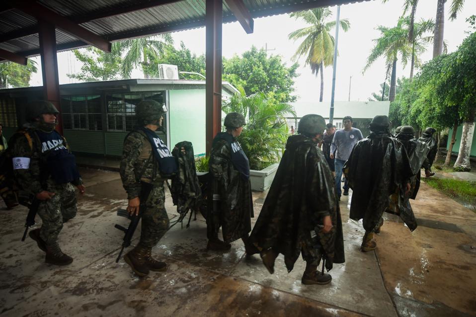
Mexican Marines custody a shelter in Escuinapa, Sinaloa state, Mexico, on October 23, 2018, before … [+]
AFP via Getty Images
Klotzbach’s point is that named storms are certainly not unprecedented before the official start of the season. I have written in Forbes about this topic in the past because we’ve seen named storms in December and January too. Ironically, NOAA just issued a press release this week about a study that says that geography of tropical cyclones is changing. The NOAA release says, “While the global average number of tropical cyclones each year has not budged from 86 over the last four decades, climate change has been influencing the locations of where these deadly storms occur, according to new NOAA-led research published in Proceedings of the National Academy of Science.” The lead author, Hiroyuki Murakami, is climate researcher at NOAA’s Geophysical Fluid Dynamics Laboratory. He said that natural variability alone cannot explain why the number of tropical cyclones have been increasing since 1980 in the North Atlantic and Central Pacific while deciding in the Southern Indian Ocean and western Pacific.
To be clear, if this subtropical storm develops later in the week, it wouldn’t likely be a threat to the U.S. mainland. However, it is certainly a good reminder that hurricane season is around the corner and that preparation is necessary. By the way, the first named storm of the Atlantic season will be named Arthur.


